
Real Estate Drone Photography in the DC Metro Area: Rules, Pricing, and When It's Worth It (2026)
Aerial photography can be one of the most compelling additions to a real estate listing. A well-executed drone shot of a wooded Northern Virginia lot, a Bethesda home with a pool, or a new construction community gives buyers context that no ground-level photo can provide.
But drone photography in the DC metro area comes with rules that don't exist in most other markets. Before you add aerial to a listing package, there are a few things every agent and seller needs to understand.
The DC Airspace Situation: What You Need to Know
The DC metro area sits inside one of the most restricted airspace environments in the United States. The National Capital Region is governed by a Special Flight Rules Area (SFRA) that extends 30 nautical miles from Reagan National Airport (DCA) — covering virtually all of Northern Virginia, the District, and a significant portion of Maryland.
Within that 30-nautical-mile SFRA, there is a tighter inner ring: the Flight Restricted Zone (FRZ), which extends approximately 15 nautical miles (about 17 statute miles) from DCA. Inside the FRZ, commercial drone flight for real estate photography is effectively prohibited. There are no routine exceptions for promotional or listing photography.
In practical terms, this means:
Washington DC and close-in neighborhoods: Drone photography is not available.
Arlington and Alexandria close to DCA: Generally inside the FRZ — drone photography not available.
Further-out Northern Virginia (Fairfax County, Loudoun, Prince William): Typically accessible with proper Part 107 authorization, depending on specific address.
Maryland: Montgomery County close-in suburbs may fall within the SFRA outer ring. Properties further from DCA — Gaithersburg, Frederick, Bowie, Annapolis — are typically accessible.
If you're unsure whether a specific listing is eligible for drone coverage, confirm with your photographer before booking — and before promising aerial photography to your seller.
FAA Part 107 Certification: Why It Matters
Any commercial drone operator — including real estate photographers — is required to hold an FAA Part 107 Remote Pilot Certificate to fly for hire. This is not optional, and using an uncertified pilot creates liability for the agent and seller in addition to the operator.
When evaluating a real estate photography company for drone work, ask specifically whether their pilots hold active Part 107 certification and whether they are familiar with DC area airspace restrictions. Some national booking platforms subcontract drone work to uncertified operators — a risk that isn't worth taking.
Cove Media's drone pilots hold FAA Part 107 certification and operate within all applicable airspace restrictions. If a property is inside the FRZ or otherwise ineligible for drone flight, we'll tell you upfront at booking.
What Real Estate Drone Photography Costs in Northern Virginia and Maryland
Drone photography pricing in the DC metro area in 2026:
Basic aerial photo package (5–10 edited images): $75 – $150 as an add-on to a photography package
Standalone drone-only shoot: $150 – $250
Aerial video (short flyover clip): $100 – $200 as an add-on
Combined aerial photo and video: $150 – $300 as an add-on
Most real estate photographers in the DMV include drone as a bundled package option. At Cove Media, aerial photography is available as an add-on to any standard listing photography package — see cove.media/pricing for current rates.
When Drone Photography Adds Real Value
Large Lots and Properties With Significant Outdoor Space
A half-acre wooded lot in Great Falls looks like a backyard in a ground-level photo. From above, it reads as what it actually is: a substantial private property. For any listing where lot size is a meaningful selling point — rural Loudoun County, larger Fairfax County lots, horse properties in Clifton or Nokesville — aerial photography is nearly essential.
Homes With Pools, Water Features, or Notable Landscaping
Swimming pools, ponds, extensive hardscaping, and professional landscaping are all dramatically better communicated from above. Buyers browsing listings on Zillow will scroll past a pool they can barely see in a ground-level photo. An aerial shot showing the pool, patio, and surrounding property tells a much more compelling story.
Properties Near Water, Parks, or Prominent Natural Features
Proximity to the Potomac River, Shenandoah access, or a large regional park is a meaningful selling point that ground-level photos can't communicate. An aerial image that shows the relationship between the home and a nearby natural amenity helps buyers understand what they're actually buying.
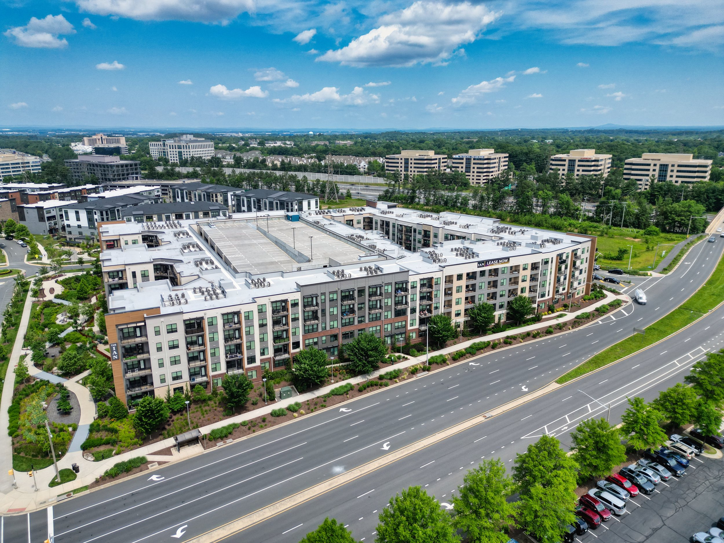
New Construction and Community Overviews
For builder listings and new construction communities in Loudoun County, Prince William, and outer Montgomery County, aerial photography shows lot relationships, community layout, and proximity to roads and amenities. For phase launches where models aren't yet built, aerial views of the development are often the most informative content available.
When You Can Skip Drone Photography
Aerial photography adds the least value for dense urban listings — condos, townhomes in close-in suburbs, and single-family homes on small lots where the aerial view shows neighbors, parking, and more neighbors.
For a 1,400-square-foot townhome in Falls Church or a condo in Rockville, a well-executed drone shot may add cost without adding meaningful information to the listing. The decision always comes back to whether the aerial perspective tells buyers something they couldn't understand from ground-level photos.
Drone Photography and Sky Replacement
Every Cove Media listing photo order includes sky replacement editing regardless of weather. If shoot day brings an overcast sky, it's replaced in post-production with a clean blue sky at no additional charge.
This matters for drone photography specifically because exterior conditions on shoot day can't always be controlled — and an aerial shot with a gray, flat sky loses most of its visual impact.
How to Add Drone to Your Cove Media Shoot
Drone photography is available as an add-on to any Cove Media listing package across eligible properties in Northern Virginia and Maryland. When you book, provide the property address and we'll confirm airspace eligibility before the shoot is scheduled.
All drone flights are conducted by FAA Part 107-certified pilots. Edited aerial photos are delivered with the rest of your listing media within 24 hours.
Book at cove.media or explore full pricing at cove.media/pricing.
Serving the DC Metro Area
Cove Media provides real estate photography and virtual staging services across:
Northern Virginia: Arlington | Alexandria | McLean | Falls Church | Fairfax | Reston | Herndon | Tysons | Vienna | Oakton | Chantilly | Centreville | Woodbridge | Manassas | Leesburg | Ashburn | Sterling | Great Falls | Annandale | Springfield
Maryland: Bethesda | Rockville | Silver Spring | Chevy Chase | Potomac | Gaithersburg | Germantown | Bowie | College Park | Laurel | Takoma Park | Frederick | Annapolis
Washington DC: All neighborhoods and wards
Cove Media is a full-service real estate photography company serving the Washington DC metro area. Visit cove.media to book your next shoot or explore our services and pricing.